DESIGNER-READY MAPS
Editable vector maps
Professional maps. Built for designers.
Fully editable Adobe Illustrator maps made for the way commercial real estate designers actually work. Cleanly layered, thoughtfully organized and ready to drop into offering memorandums, brochures and presentations. Change the colors and fonts. Add your property. Get back to designing.
Regional maps by city
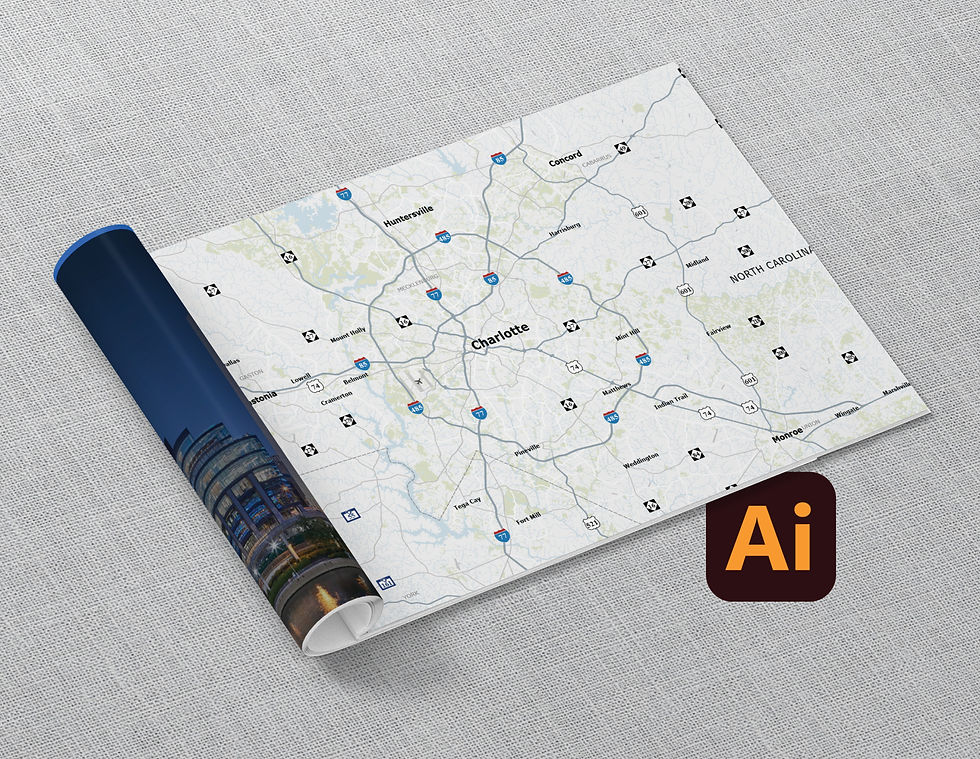
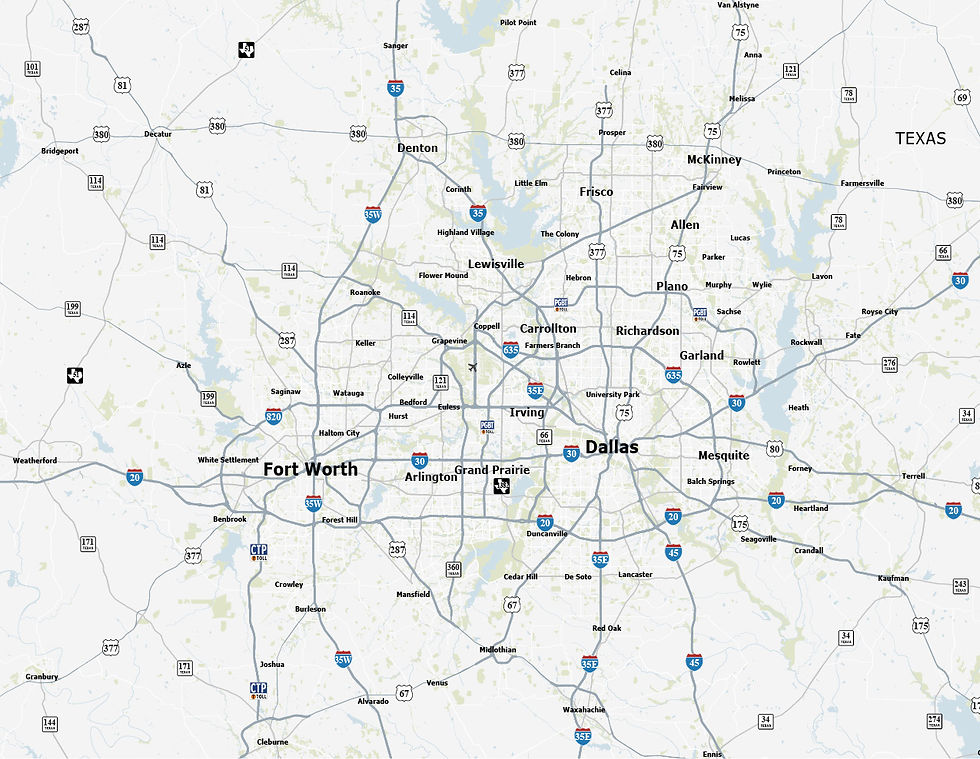
Professionally designed regional maps with the geographic detail you need and none of the clutter you don't. Each map includes a fully layered Adobe Illustrator master file plus PDF and high-resolution JPG formats.






BUILT DIFFERENTLY ON PURPOSE
Designed by a designer
These aren't just vector maps. They're working design files.
After more than 20 years designing for commercial real estate, we know what makes a file easy to work with. Every map is thoughtfully built with clean, logical layers, live editable type and reusable vector symbols, so you can spend less time cleaning up the file and more time designing.
No digging through hundreds of unnecessary elements. No rebuilding before you can get started. Just open it, make it yours and keep moving.
CRE READY
Designed at real publication scale for offering memorandums, brochures and presentations.
FULLY EDITABLE
Layered Adobe Illustrator files with live type and vector artwork.
EASY TO CUSTOMIZE
Change colors, fonts and styling to match your project or brand.
FREQUENTLY ASKED QUESTIONS
Common questions about custom CRE vector maps
A custom vector property map is a professionally designed, fully scalable map graphic created specifically for a property or deal. Unlike a screenshot from Google Maps or a GIS export, a vector map is built in design software and can be customized with branded colors, callouts, labels, and graphics that highlight exactly what matters for your specific property and target audience.
Google Maps screenshots are low-resolution, unbranded, and don't give you control over what gets highlighted. A custom vector map lets you direct the investor's attention — callout the right tenants, show traffic corridors, emphasize access points, and match the look of your overall marketing package. It's the difference between a screenshot and a selling tool.
We deliver vector files that work for print and digital — typically PDF, EPS, or AI format for print-ready use, along with web-optimized versions (JPG, PNG, GIF) for digital presentations and email. If you need a specific format for your workflow, just ask and we'll accommodate.
Absolutely — and that's actually how most of our map projects work. Rather than designing a map in isolation, we build it as part of the broader offering memorandum or property brochure so everything is visually consistent. Many clients bring us in to handle the complete marketing package from start to finish.
Yes. In addition to visual map design, we use GIS tools and demographic data sources to incorporate market analysis into map graphics — including population data, income levels, traffic counts, daytime population, and trade area definitions. These are particularly useful for retail and multifamily deals where market context is a key part of the investment story.